Key resolution approved for the regulation of Marine Recreational Fishing in Catalonia

The new regulation establishes, among other measures, minimum catch sizes, maximum daily catch quotas, and biological closed seasons for certain species.

Inland waters of Catalonia. The area highlighted within the red box corresponds to the zone regulated by Resolution ARP/3253/2024.

On September 10, 2024, a key resolution (Resolució ARP/3253/2024) was approved for the regulation of Marine Recreational Fishing (hereinafter, MRF) in Catalonia. This resolution, applicable to the inshore waters along the Girona coastline, aims to ensure the sustainability of fishery resources and the marine ecosystem. The new regulation, subject to revision every two years, establishes, among other measures, minimum catch sizes, maximum daily catch quotas, and biological closed seasons for certain species. Its approval was made possible thanks to the effort and close collaboration between the different parties involved in the MRF Co-management Board, in which ICATMAR contributes scientific data obtained through MRF monitoring in Catalonia. Looking ahead, work is underway on a new resolution for the rest of Catalonia’s inshore waters and on the update of Decret 109/1995, which currently regulates the activity.

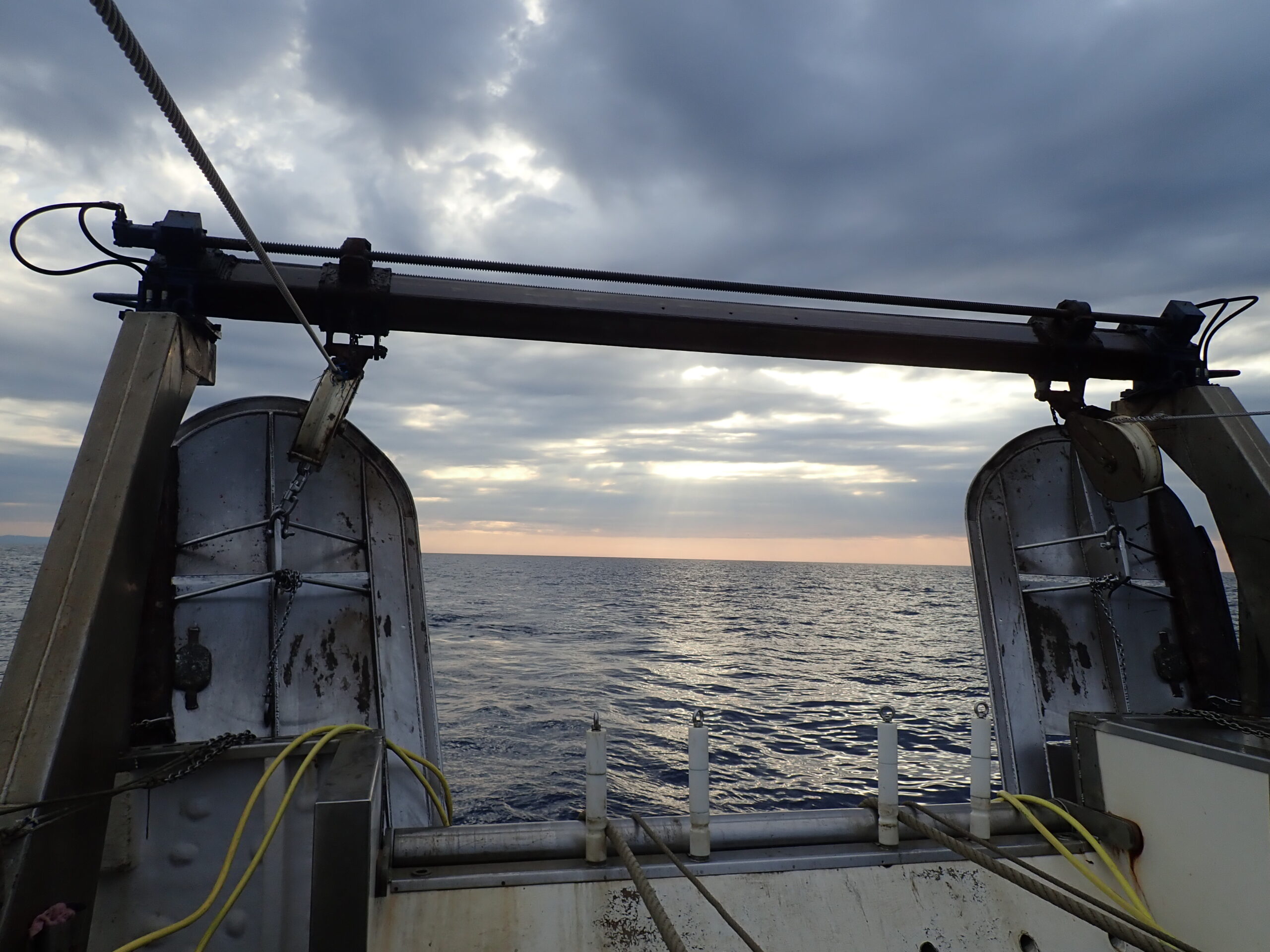
MRF is an important activity in Catalonia. Among its three main forms, i.e., boat angling, shore angling, and spearfishing, more than 50,000 licenses are issued annually throughout the region. However, until now, MRF in Catalonia was only regulated by a Decree published in 1995, which, for the first time, established the requirement for a license and a daily weight limit, among other general regulations. Nevertheless, the significant increase in the practice of this activity over recent decades, changes in regulations, and requirements from the European Union have made it necessary to address the governance of this sector through various mechanisms. On the one hand, the implementation and consolidation of the MRF monitoring program conducted by ICATMAR since 2020 has been promoted; on the other, new regulations are being developed to update current rules and ensure sustainable and adapted management.

Recreational fishers practicing shore angling.

To move the resolution forward, the intensive work carried out within the framework of the MRF Co-management Board was essential, as was the achievement of consensus among all stakeholders involved. The Co-management Board was established in 2023 and includes the different sectors involved in MRF, specifically, associations of recreational fishers of the different modalities, the Government of Catalonia, the NGO WWF, and the scientific community through ICATMAR. With the goal of providing a scientific basis for developing proposals for the resolution, ICATMAR drafted the report Indicadors biològics per determinar possibles mesures de gestió de la Pesca Marina Recreativa a Catalunya. Based on data collected between 2020 and 2023 in northern Catalonia and on scientific literature, the report proposed management measures for 46 MRF target species. Among the various proposals were minimum catch sizes, biological closed seasons, and bag limits. These measures, after being revised and agreed upon by all parties, were ultimately included in the Resolution. The approach adopted, which combines scientific knowledge with active participation and regular review of the measures, aligns with an adaptive management model and is designed to adjust regulations based on changes in both activity and ecosystems.

Currently, the Co-management Board is finalizing the last details of a new Resolution to regulate MRF in the inshore waters of the central and southern areas of Catalonia. In this way, the entire Catalan coastline will be subject to the new Resolutions. In parallel, the MRF Co-management Board is also working to update the contents of Decret 109/1995, which governs this activity in Catalonia. This Decree is considered obsolete, as the guidelines it contains were drafted 30 years ago and do not take into account the significant changes in MRF practices and European regulations that have occurred in recent decades. A Decree holds a higher regulatory status than a Resolution, and for this reason, it is important to amend the current Decree to ensure the continuity of the new measures implemented.

Author: Ferran Bustos

The MAP Regulation: Effects on bottom trawling and future perspectives

In recent months, a consensus has emerged within the scientific community on the need to revise stock assessment methodologies in the Mediterranean.

Otter boards from a bottom trawling vessel of the Catalan coast.

The Western Mediterranean Multiannual Plan (hereinafter, the MAP Regulation) is a European Commission Regulation that governs the demersal fisheries in the Western Mediterranean. It was published in 2019 and adopted in Spanish Mediterranean waters in May 2020. Its objective is to reach fishing mortality levels corresponding to the maximum sustainable yield (a level of fishery exploitation that allows a marine population to be used without compromising its long-term sustainability) for all target stocks, and particularly for the stock considered most vulnerable by 2025. The species listed in the MAP Regulation as target species are red mullet (Mullus barbatus), European hake (Merluccius merluccius), deep-water rose shrimp (Parapenaeus longirostris), Norway lobster (Nephrops norvegicus), blue and red shrimp (Aristeus antennatus), and giant red shrimp (Aristaeomorpha foliacea, which is absent from the Catalan coast).

The text of the MAP Regulation states that fisheries management measures must be based on the best available scientific advice, specifically citing the STECF (Scientific, Technical and Economic Committee for Fisheries), an advisory scientific body that meets periodically in various working groups. It also defines reduction of fishing effort as the main management tool. Thus, in the stock assessments carried out by STECF in September, fishing mortality estimates are determined and used as guidance to calculate the necessary reduction in fishing effort to meet the targets. Based on this information, in November the Commission publishes a proposal for the next year’s fishing opportunities, which includes:

  • Fishing days assigned to each Member State, to be distributed among the entire trawl fleet.

  • Corrective measures for the most vulnerable stocks, in addition to the reduction of fishing days (e.g., quotas or closed seasons).

  • Compensation mechanisms that allow fleets to obtain additional fishing days (e.g., use of more selective meshes or low seabed-impact trawl doors).

In this context, in 2018, it was calculated that if by 2025 the target fishing mortality for European hake, the most vulnerable species according to assessments, was to be achieved, the fleet would be limited to around 60 fishing days per year. This would threaten the economic viability of the fleet, and consequently of the fishers’ guilds and the Catalan fishing sector as we know it. As a result, ICATMAR began studying other fisheries management measures that have proven effects on the recovery of marine populations and ecosystems, beyond reducing fishing days. These include the use of more selective meshes, low-contact otter boards, and the establishment of permanently closed fishing zones. Initially introduced as compensation mechanisms, these measures saw very low adoption, since most of the sector did not perceive benefits in implementing them as they were laid out in the regulation.

In 2024, the fishing mortality values for European hake estimated in the latest STECF stock assessment were still far from the target value. Consequently, the Commission’s proposal for fishing opportunities in 2025 for the Spanish Mediterranean trawl fleet involved a sharp reduction in assigned fishing days, leaving them at just over 15,000 for the entire fleet. Thus, from 110 days allocated per vessel in 2024 (with a total of 140 to 170 actual days fished, thanks to compensation mechanisms), only 27 days were allocated for 2025. The Commission’s proposal included compensation measures which, if fully complied with, would allow fishing days to be recovered up to the 110 allocated the previous year, but not the total number of days actually fished.

ICATMAR stuff analyzing samples from bottom trawling.

In recent months, there has been broad scientific consensus on the need to review the stock assessment methodologies that inform fishery policy decisions for Mediterranean fisheries, as these have a major impact on the sector’s socioeconomics. Various scientific institutions are already forming working groups to begin this review process, known as a benchmark, with the goal of agreeing on the data and models to be used in stock assessments, starting with European hake, the most vulnerable species. In the meantime, it is necessary to find solutions to make bottom trawling more sustainable, without focusing solely on reducing activity. At ICATMAR, we are collecting fisheries data along the Catalan coast to feed into the benchmark process and help achieve more accurate stock assessments for proportionate, coherent management aligned with the actual functioning of Mediterranean fisheries.

Author: Marta Carreton

How does ICATMAR’s radar network work and what is it for?

ICATMAR’s main objective is to provide an oceanographic forecasting service tailored to the needs of society.

High Frequency (HF) radar installed in the port of Segur de Calafell (left). Distribution of ICATMAR’s HF radar network along the Catalan coast, showing the theoretical coverage areas of the different antennas (right).

In Catalonia, approximately 63% of the population is concentrated in coastal counties. A significant part of our economic and socio-cultural activities are linked to the sea, such as professional fishing, maritime freight transport, nautical sports, recreational fishing, or coastal tourism. However, we often see headlines about incidents such as a fisherman who went missing at sea near Arenys de Mar a few months ago, pollution spills from cargo ships, or the massive arrival of jellyfish and other drifting organisms on beaches. To give an idea, in 2024 alone, the Maritime Rescue emergency service received over 900 alerts originating from the Catalan coast.

It is in this context that the Operational Oceanography Service of ICATMAR carries out its activities. One of its main goals is to offer oceanographic forecast services to authorities, maritime professionals, and the general public in accordance with the needs of society. In this regard, ICATMAR is currently developing capabilities to provide information that enables rapid and reliable responses in emergency situations. Additionally, it will offer tools to improve the planning of maritime activities.

Visualization of the first surface current map of the Catalan Sea obtained from ICAMAR’s HF radar network, after the deployment of all seven antennas was completed. https://www.icatmar.cat/observacions/

Moreover, just like with weather forecasting services, developing a forecasting system of this kind requires a real-time data acquisition infrastructure (observations of sea conditions) that is stable and has good spatial coverage. In parallel, numerical models will be developed to simulate ocean circulation, integrating information from real-time data assimilation from observation instruments.

As part of the deployment of the coastal observation infrastructure in Catalonia, the final two antennas that complete ICATMAR’s High Frequency (HF) radar network were installed at the end of 2024. Today, the network consists of seven fully operational antennas strategically located along the coast: Cap de Creus, Cap sa Sal (Begur), Tossa de Mar, Arenys de Mar, Port of Barcelona, Port Ginesta, and Segur de Calafell. Thanks to this deployment, ICATMAR can monitor coastal currents with a 3 x 3 km resolution, an unprecedented level of precision in the region. As a result of these efforts, for the first time, a detailed “snapshot” of sea currents has been obtained over 200 km of Catalan coastline and up to approximately 60 km offshore.

High Frequency Coastal Radars

But how are current maps generated from the data collected by the antennas?

Diagram of how an HF radar antenna works. The antenna emits an electromagnetic signal with a specific wavelength (λ), which bounces off the sea surface waves. In particular, waves that have a wavelength equal to half (λ/2) reflect the signal coherently and with enough intensity to be detected by the antenna’s receiving system. Figure adapted from graphic material of the MEDCLIC project (SOCIB).

The antennas in the network combine emission and reception functions. They operate by emitting electromagnetic wave pulses at a known frequency (13.5 MHz in this case) in all directions. These waves are scattered by surface wave irregularities and reflected, so that part of the signal returns to the antenna that emitted it. Since the sea is not static but in motion due to marine currents, the reflected signal undergoes a slight frequency shift caused by the Doppler effect, similar to how our ears perceive the pitch change of an ambulance siren as it approaches and moves away. From this small variation relative to the transmitted frequency, we can calculate the velocity at which the sea is moving.

However, a single antenna can only detect the projection of the total current along its line of sight, so the information it provides is partial. To reconstruct the full current vector, at least two antennas must simultaneously measure the same area. For this reason, the deployment of ICATMAR’s HF radar network was designed to maximize the overlap of coverage areas between antennas. This allows for precise and near real-time information on coastal marine currents along the Catalan coastline.

Diagram showing how the total current is reconstructed from the measurements taken by two HF radar antennas. The total current (black vector) is perceived differently by each antenna (red and blue vectors, called radial projections). Using the trigonometric equations shown in the figure, the total current velocity can be reconstructed.

Author: Lucía Quirós-Collazos